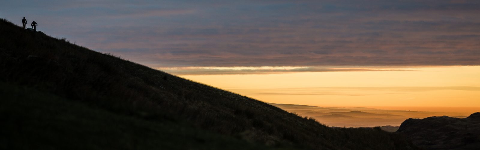
Get the latest Lake District mountain forecast right here – updated automatically everyday straight from the MET Office. Here you can browse current mountain weather conditions and then a detailed forecast for the week ahead. The weather can change pretty rapidly in the Lake District and especially once you gain some altitude – bookmark this page so you don’t get caught out by the weather!
Todays Weather warnings
Strong Sunlight
Medium Likelihood risk
Blizzards
No weather warnings in effect
Heavy Persistent Snow
No weather warnings in effect
Storm Force Winds
No weather warnings in effect
Gales
No weather warnings in effect
Severe Chill Effect
No weather warnings in effect
Poor Visibility
No weather warnings in effect
Thunderstorms
No weather warnings in effect
Heavy Persistent Rain
No weather warnings in effect


Today: Saturday 27 April
Cold and mostly dry on Saturday
A cold and sunny start. Cloud bubbling up from mid-morning to leave variable amounts of cloud during the afternoon with perhaps the odd light shower.
High for the weekend. Low for extent of any rain early next week
Visibility
Excellent visibility with great air clarity. Cloud largely above the summits
Cloud Free Hill Top
90%
View
Nothing to add
Ground conditions
No recent ground conditions report available.
06:00 - 09:00
Precipitation probability:
00%
09:00 - 12:00
Precipitation probability:
00%
12:00 - 15:00
Precipitation probability:
20%
15:00 - 18:00
Precipitation probability:
20%
18:00 - 21:00
Precipitation probability:
10%
21:00 - 24:00
Precipitation probability:
00%

Tomorrow: Sunday
Cloudy with some patchy light rain or summit sleet towards Eastern Fells, perhaps brightening up towards evening. Chilly northerly wind on the tops
Visibility
Some patchy cloud above 800 metres at first across, thickening and lowering to 400-500m across the Eastern Fells by afternoon, otherwise good visibility with cloud above the summits
Hill Fog
40%, the best chances in the west
Max wind
Northerly 15-20 mph, gust 30-35mph
Temperature
Valleys - 3 rising to 10 Celsius
800m - Minus 2 rising to plus 2 Celsius
Freezing level - 800 metres, rising above summits
Monday
Chance of a few showers. Strong southerly summit winds. Freezing level above summits.
Tuesday
Dry and bright, perhaps a few showers later. Strong summit southeasterly winds.
Wednesday
Dry and bright but some low cloud possible across eastern and northern fells at first.
Issued: Saturday 27th of April 2024 01:33:11 AM